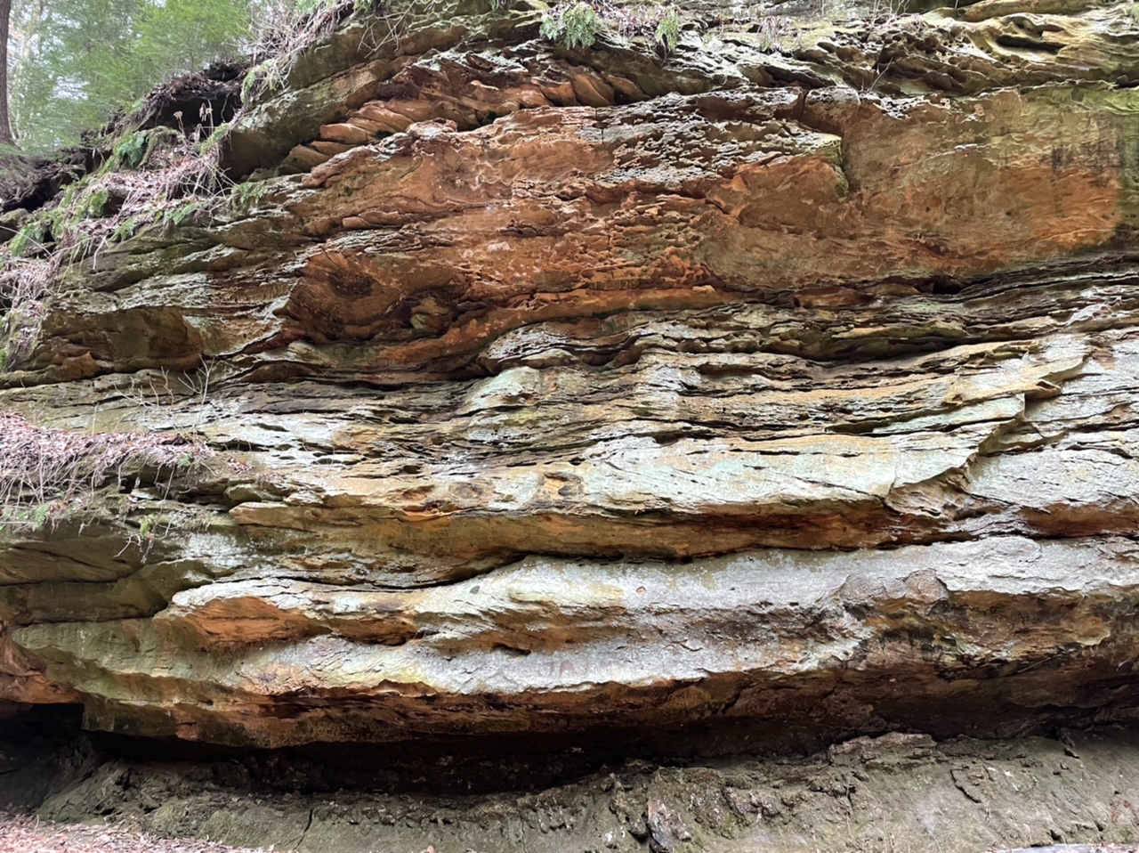
On Christmas Day the high here was 16 degrees, but today it got up to 50, so Andy and I took advantage of the weather and drove to Shades State Park to hike a bit. Shades is about 75 minutes from our house, so not a bad drive at all. But for some reason we haven’t been there for over a decade, probably.
We did two amazing hikes that make me wonder why it’s been so long. We left the house after lunch and arrived at Shades around 2 pm. I bought Andy hiking poles for his birthday in October, and he bought me poles for Christmas, and we were ready to try them. On the drive down I checked out the park map, and we decided to start with Trail 2, which the park map described as Rugged/Very Rugged: “Begins at trail to Lover’s Leap with views of Sugar Creek, upland woods and ravines. Lower portion goes down Steamboat Rock stairs and continues up Pearl Ravine streambed. May be impassable during high water.” Perfect!
No one was at the Gatehouse, and unfortunately there were no paper park maps there, either. We parked in a completely empty parking lot and thought we might have the trail to ourselves. After a couple minutes adjusting the poles to what seemed like the proper height, we started off.

The trailhead started us on Trail 10, but we quickly made it to Trail 2 and were soon down in the creekbed. It was almost immediately a difficult path, and we momentarily thought about turning around, but then we saw some people coming from the opposite direction, and they said it was passable the whole way, but challenging. The creek was low but still completely ice in places, and the path along the side was often narrow and/or muddy. The trekking poles really helped. We were able to test a surface to see if it was solid or soggy. We had a little extra push to help make it across a wide part of the creek. Or we were able to get a little extra stability while moving through rocky areas. But the views were completely gorgeous and worth it.
We could have used a map, though! We thought we were on a loop, and we were, but there was a spur off of it that we didn’t need to take, and the signage was not very helpful. It took us to a parking lot, but then we saw a sign for Lover’s Leap, so we decided to take that spur as well. In the end, according to my app, we hiked 3.6 miles on the 1.75-mile loop trail.
When we got back to the van neither of us was ready to leave, so we drove a short way to Trail 1, which was described as Moderate/Rugged: “Begins at Devil’s Punchbowl, lower portion travels through ravine creek bed to Silver Cascade waterfalls. This portion involves steps and hiking in the creek bed. Upper trail portion begins at steps from ravine and goes to Inspiration and Prospect points.”
This trail, too, quickly led us down into the creekbed. The difference between Very Rugged and Rugged is slight but also significant. Although we still had to pick our way back and forth across the creek to find a proper route, there was always at least one decent path, and sometimes more than one. This trail might have been even prettier than Trail 2. And, unlike the other trail, we never encountered any other hikers the entire time we were in the creekbed.


The top part of the trail had some fabulous views of Sugar Creek, and the colors, while bleak, were astounding.

Once again, we somehow managed to seriously lengthen the trail. The map listed Trail 1 as 0.75 miles, but my app said we hiked 2.1 miles. Whatever the length, it was good to get outside!
(And then we stopped for pizza on the way home)


